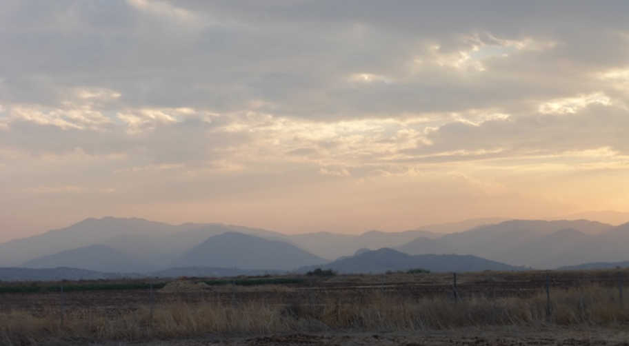
“Today, when I woke up, I could hardly see the Kyrenia mountains from Nicosia: the haze due to dust had intensified to a level that we had not experienced earlier in this campaign. The day before, also, as we were having our last flights, we had noticed that the mountains appeared distant and faint. In the morning the depolarization was still noticeable on the lidar in Limassol and the PM10 at Agia Marina was still high at 40 ug/m3; however, the models predicted that this dusty air should clear in the afternoon and leave us in a much cleaner but also wetter airmass. And as a matter of fact, in the afternoon the mountains did indeed reappear and the Agia Marina PM10 plummeted to 10 ug/m3. Moreover, the sky filled with low and grey clouds, with lightning and rain. Some would say that the dust was “washed out by the rain” but I think that a more accurate description is that the dusty airmass has been pushed away from Cyprus by a cleaner and wetter one, and yes also a small fraction of the dust has be washed away by the rain.”
This is our story about the pre-ASKOS flight campaign which was successfully completed on November 19, 2021. The flight campaign took place at Orounda Airfield, Cyprus and lasted for one month. The aim was two-fold: to conduct UAV-based air-quality measurements during severe dust events at the lower tropospheric column, and run a preparation campaign for the upcoming ASKOS campaign, in which USRL is participating in June of 2022 at São Vicente island of Cabo Verde.
“It is sad that our dust campaign has come to an end already! The UCASS instruments have been packed for transportation to the UK where we’ll have them checked and re-calibrated. It is Murphy’s law that governs campaigns in this way: the most intense dust event is always on the day after the campaign (or the day before, or even both as it has happened to us for this campaign!).

Troodos seen through dusty layers, as seen from Orounda on 18/11/2021
To summarise the campaign, in one month we had 14 flying days (of which 12 during dust events), with 36 flights in total, with three different drones and four instruments (POPS, UCASS, GPAC and COBALD). We observed two dust events that lasted approximately a week each, and we collected a large amount of data with ground-based instruments as well (remote sensing and in situ). All this data will have to be put together now to create a synergy between instruments. In addition to dusty conditions, we also measured background conditions and some days were absolutely clean with 2 ug/m3 of PM10.

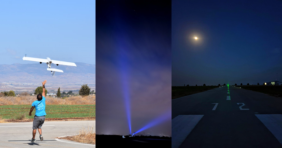
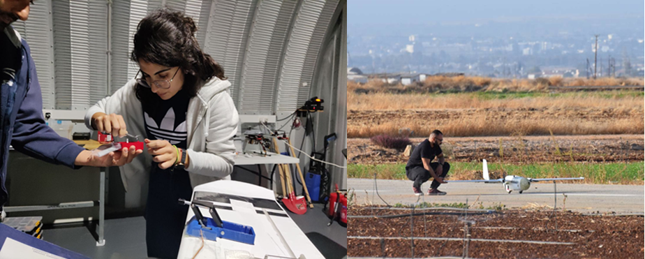
On the USRL perspective, many targets were reached with the campaign. The success rate of the flights was close to 100%, which is a major increase from previous campaigns. Only one flight was not performed, because of a missing component. Much higher altitudes than ever have been reached (~4,500 m AGL) by flying the UAVs in a more energy-efficient way and utilizing customized Li-Ion batteries. Another remarkable achievement was that the night flights were performed for the first time on a routine basis with a success rate of 100%. And the team has been remarkable at fixing issues on-the-field very quickly, meaning that most common failures would only result in a small delay of the takeoff. Even at the point where fatigue on a UAV caused a major fracture on the fuselage and damage on the video transmitter, the airplane was repaired on the spot; then, due to the delay the flight had to take place at night, performing measurements in and above the dust layers up to an altitude of 4.3Km AGL.”

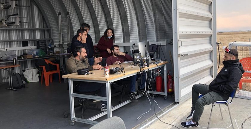
The continuous flights during two consecutive weekends including a public holiday were accepted with enthusiasm by the USRL team and the Remote Sensing scientists. All the flights were coordinated with the Larnaca airport control Tower over the phone and the training area VHF radio channel, an activity that enhanced the trust by the authorities and enhanced our experience.
Furthermore, it was the first time that the novel USRL GCS software and Autopilot firmware were utilized during a long-term intensive scientific campaign, and this ended with a great success and confidence for future developments. Last but not least, the severe problem with the jamming/interference of the GPS signal in the Eastern Mediterranean did not stop the operations, although it made the life of pilots harder due to the need to navigate manually at high altitudes, without interrupting the scientific mission, and with the need to avoid position drifts which could risk the UAV.
Looking at the instruments on the drones, we are pleased to report no major failures. Some instruments have lost communications for a few minutes, demanding a reset or even losing data for short portions of a flight, but we can be proud to say that all flights were successful in delivering the key data that were expected. A key factor to this was the capability to real-time monitor the health of the instruments and perform a remote reset to the instrument without interrupting the flight.

The campaign has reinforced the team work, helping to bond the CAO remote sensing team, the wider CAO and USRL for a common objective. The organization and planning was appreciated generally as an efficient way to coordinate work. We have seen high motivation and dedication from everyone, and many people have gone the “extra mile” to make it a success.”


