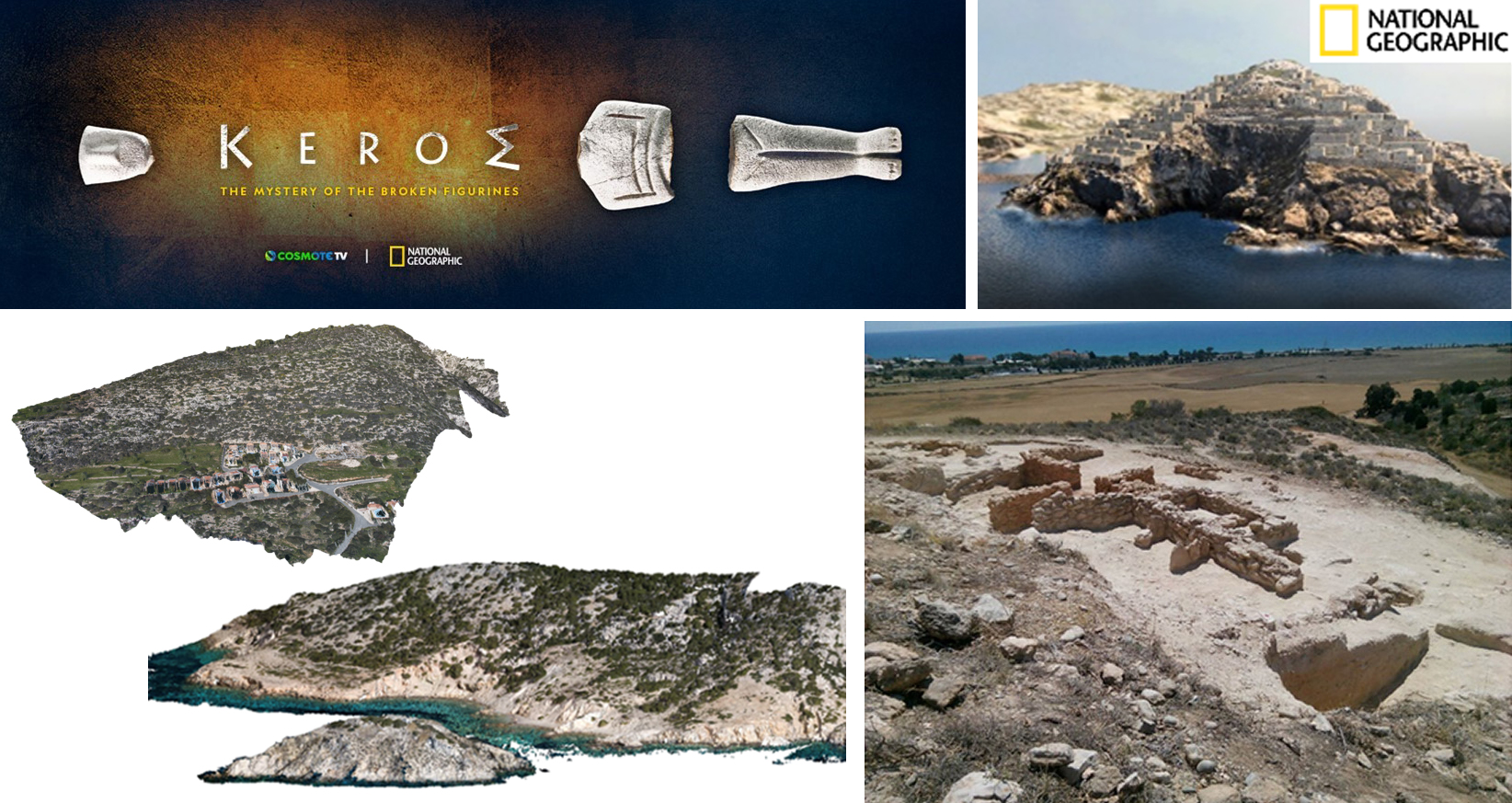
Participation in the First COSMOTE TV-National Geographic Co-production “Keros: The Mystery of the Broken Figurines” – Image scanning of Keros Island
Aerial Imaging Activities
-
Collaboration with STARC for the 3D digitization of Cultural Heritage Monuments and Archaeological Sites
- Image Scanning of Ag. Spiridon fishing boat (cultural heritage documentation project) – High-Resolution 3D Model of Agios Spiridon boat derived
- Participation in the First COSMOTE TV-National Geographic Co-production “Keros: The Mystery of the Broken Figurines” – Image scanning of Keros Island
- Detailed Terrain Recontstruction of Buzludzha Monument and its surrounding terrain. Bulgaria, 2019, 3D model acquired and derived by USRL, CyI
- Nicosia International Airport Aerial Imaging – Digital 3D-model Acquisition of terminal roof, tarmac and two runways (in the framework of the NIC Project)

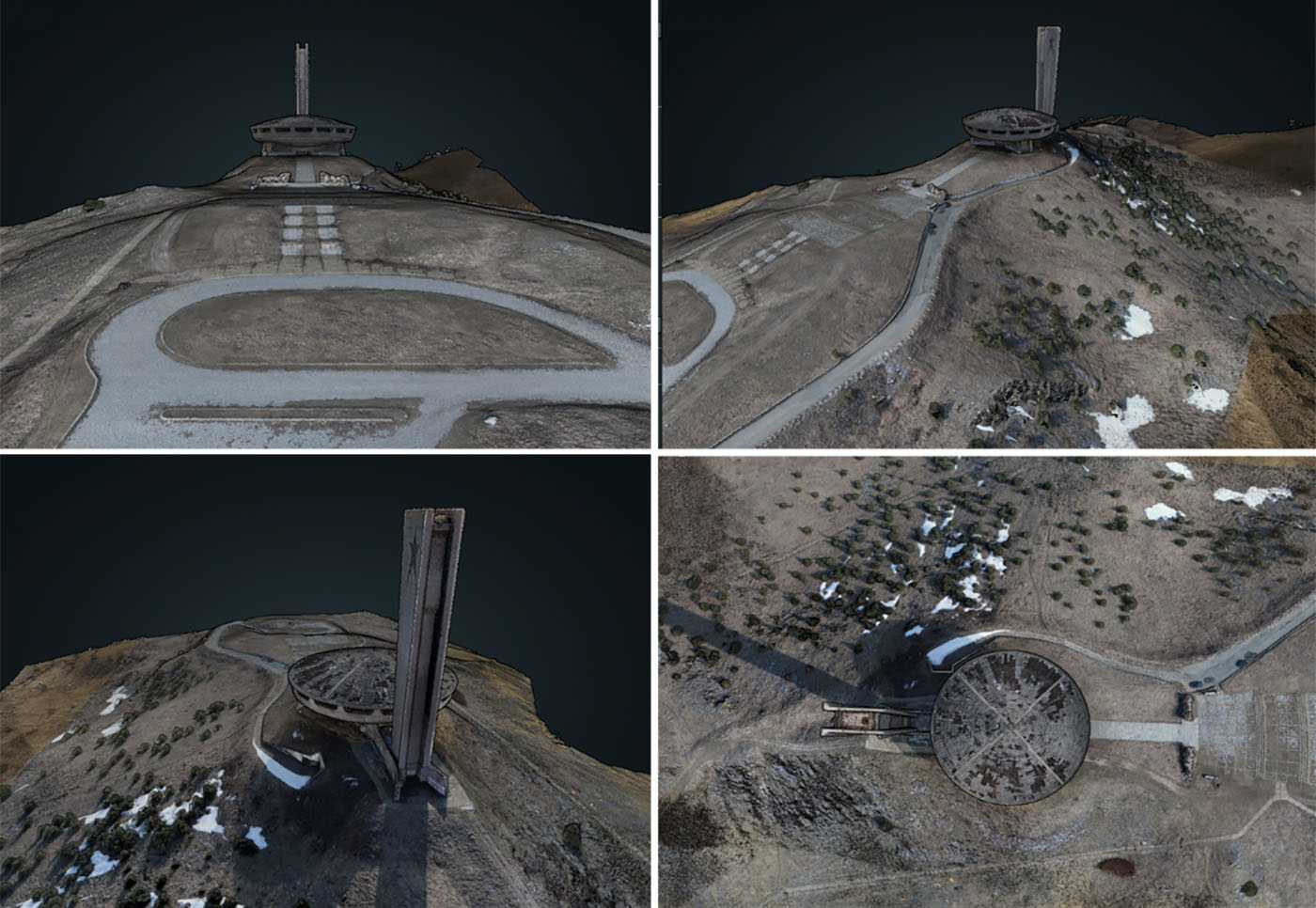
Detailed Terrain Recontstruction of Buzludzha Monument and its surrounding terrain. Bulgaria, 2019, 3D model acquired and derived by USRL, CyI
Example Model derived by USRL - UAS used in VR environments. The Buzludzha monument & terrain

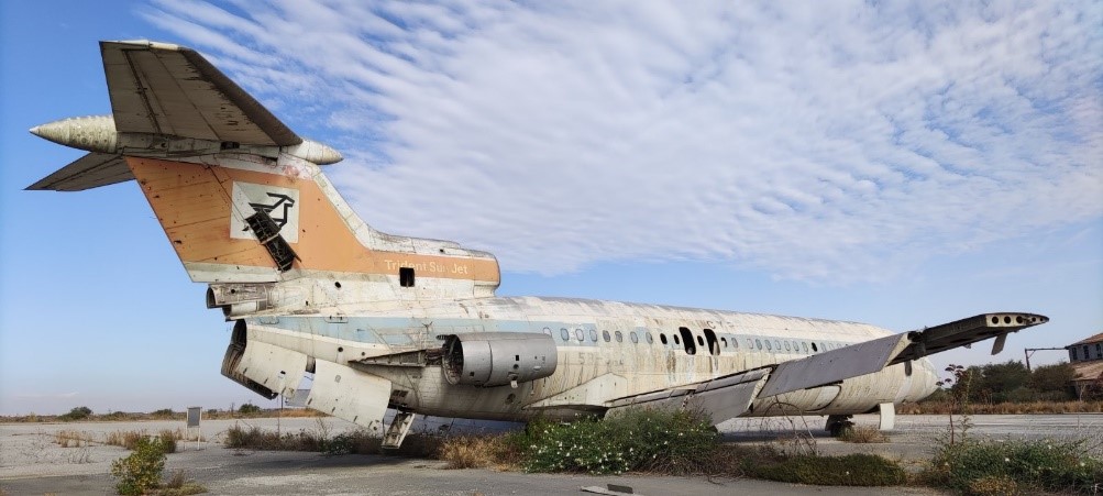
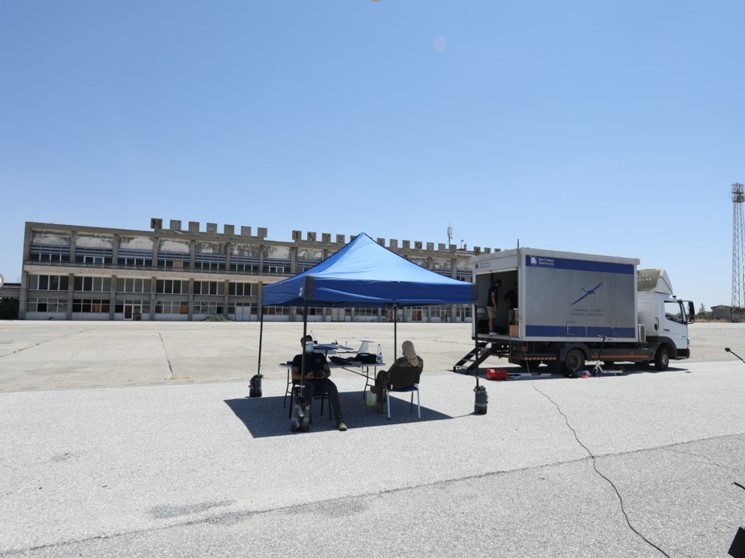
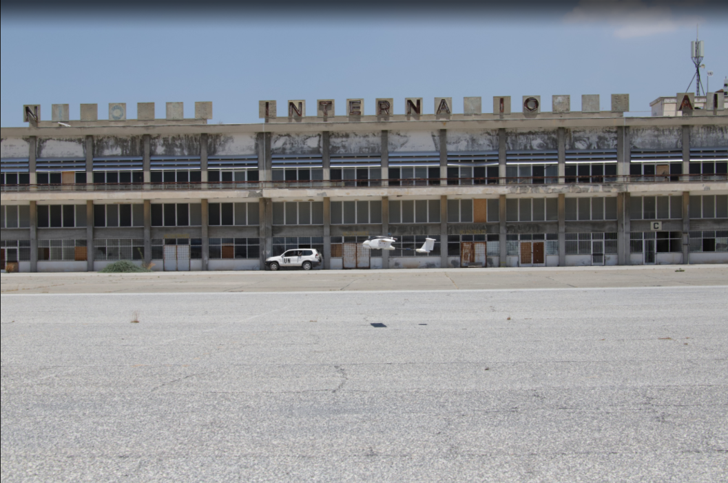
Nicosia International Airport Aerial Imaging – Digital 3D-model Acquisition of terminal roof, tarmac and rwo runways (in the framework of the NIC Project)
Forest Monitoring
-
Development of tailored made UAS for the Department of Forests
-
Participation in forest surveillance activities and exercises
-
Detection of Actual Fires (8 in year 2021)
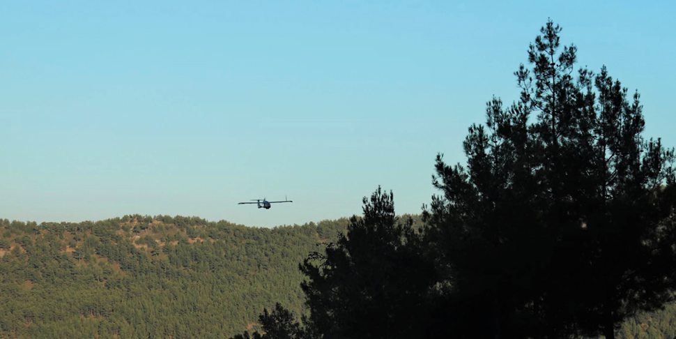
Forest Surveyor- The DoF fixed-wing UAV during forest surveillance at Stavros tis Psokas
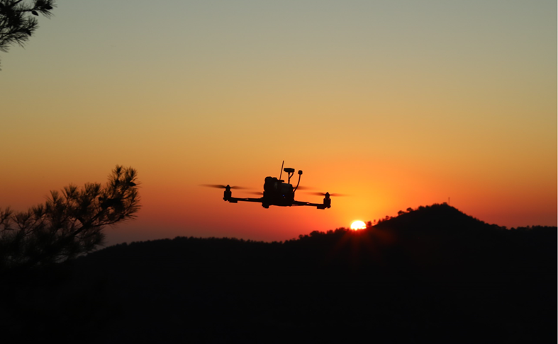
The Forest Inspector drone
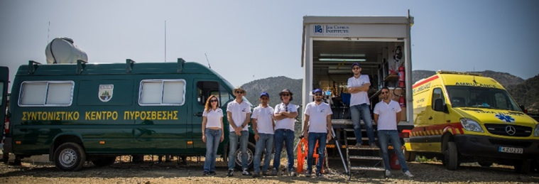
USRL participation in DOF Exercise “Ifaistos”
Earth Observation Flights
-
Earth Observations Flights
- Pilot Study for Multispectral Image Specification, collected by Drones for agricultural activities control
- Collaboration with Cyprus Agriculture Payments Organizations (CAPO) and STAR-C
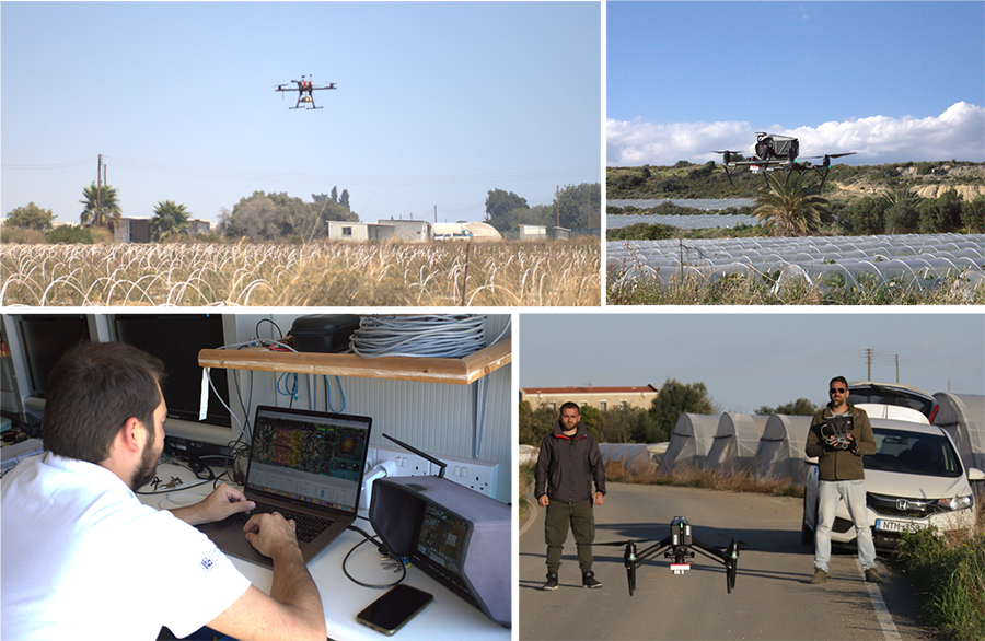
UAV-based multisprectral imaging for agricultural activities control
MozzyJet (Mosquito Drone)
Kamil Erguler & USRL
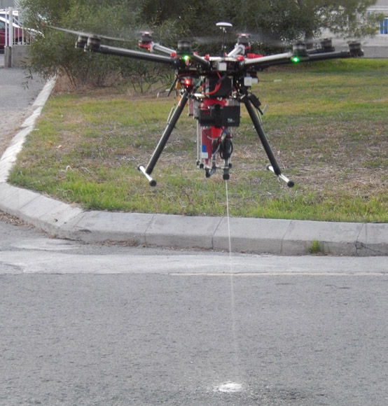
Development of drone for mosquito control in swampy and rugged areas
-
Proof of Concept test flights (Winter-Spring 2018)
-
Presentation at Conference:
18-20 April 2018 Akrotiri Environmental Education Centre (AEEC, Akrotiri village,
Limassol, Cyprus
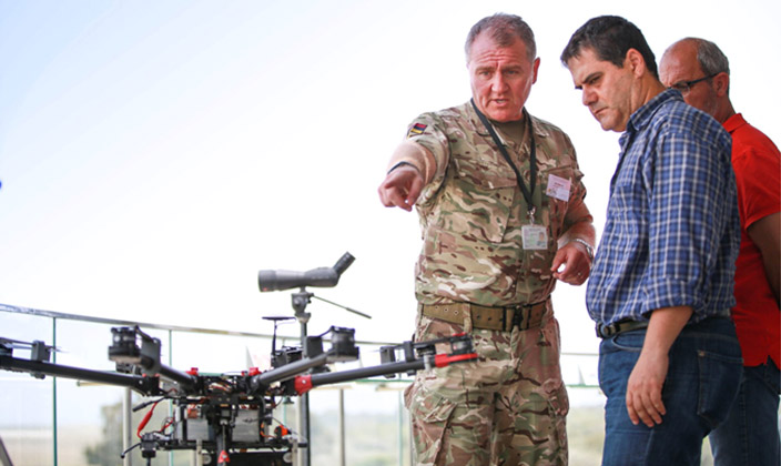
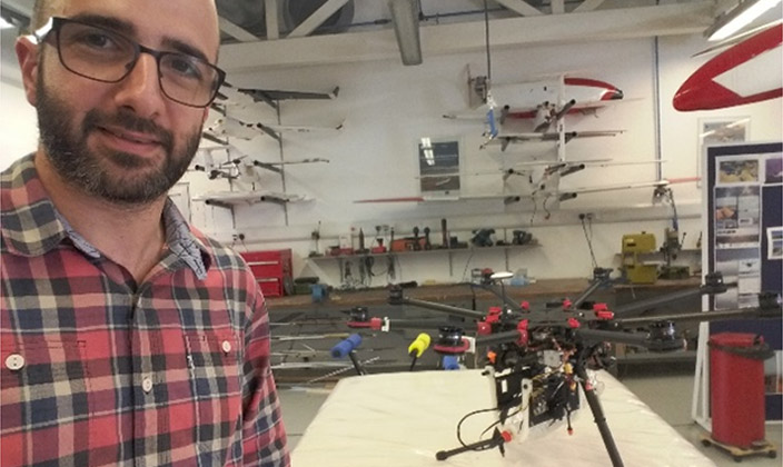
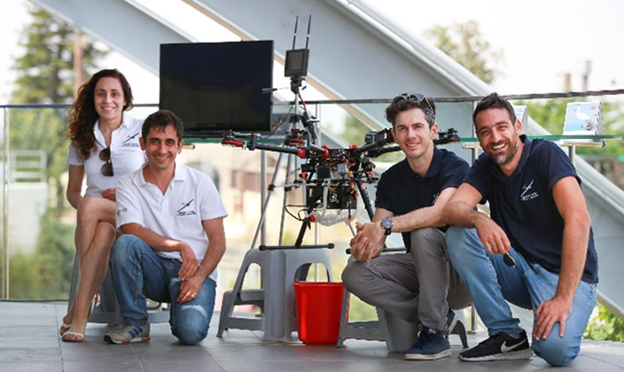
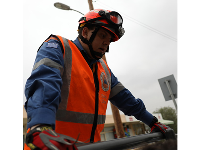
Civil Defense Exercise
(Εγκέλαδος 2018)
-
Strovolos, March 2018
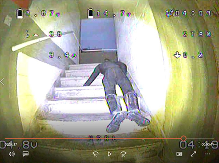
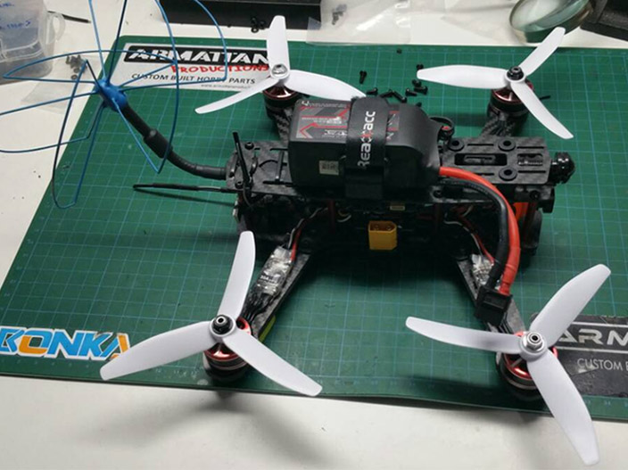
- Scope: To investigate a collapsing building after an earthquake and search for injured persons using a mini-drone
- Scope: To investigate a collapsing building after an earthquake and search for injured persons using a mini-drone
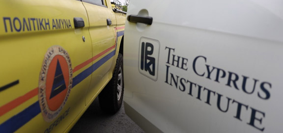
Aerial Survey for clandestine graves of missing persons
The Cyprus Institute (USRL & STARC) and the Committee on Missing Persons (CMP)
Near Sisklipos, Cyprus (Occupied Zone)

Digital Elevation Model (DEM)

USRL, STARC, CMP Participants (Photo taken by octocopter)


